GREENWAYS · BELLINGHAM
Neighborhood Trails
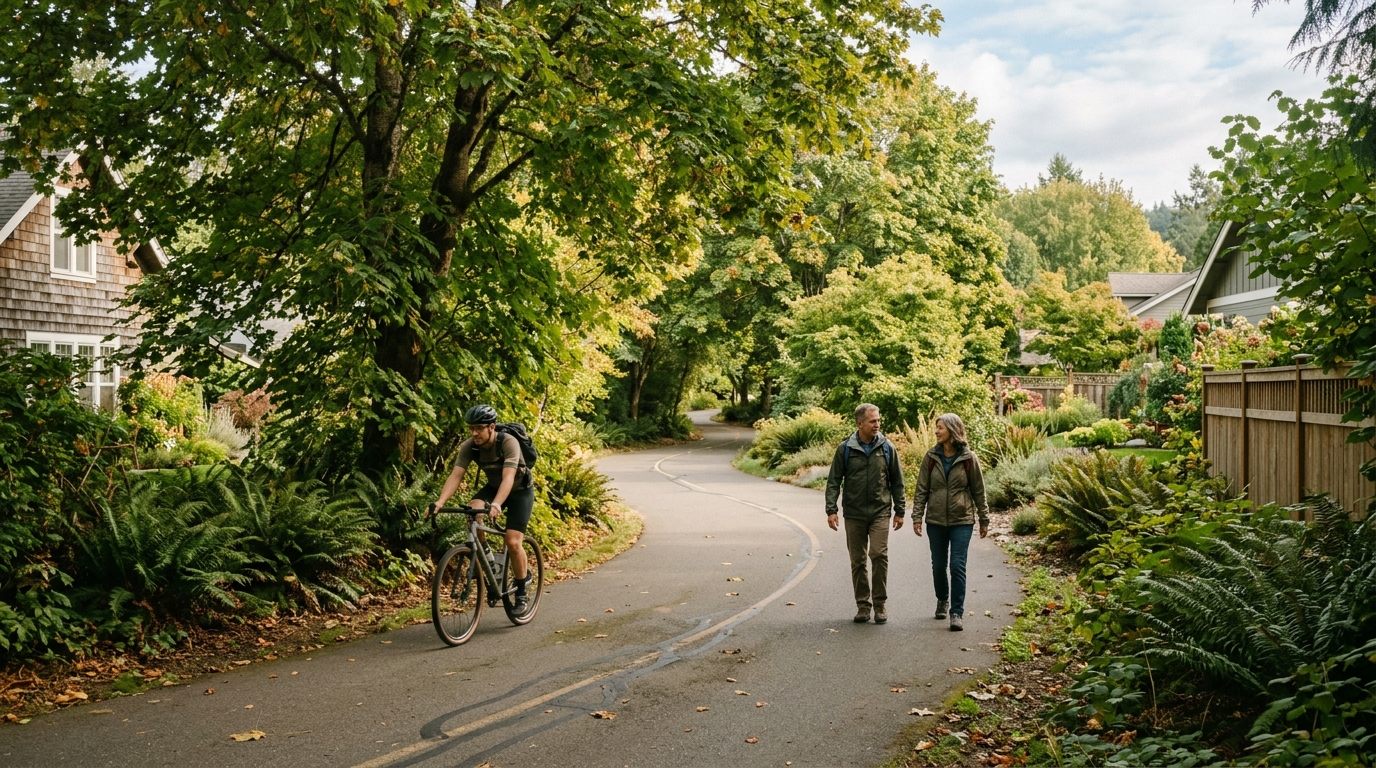
Roughly eighty miles of car-free trails knitting the whole city together.
One of the quiet luxuries of living in Bellingham is how much of it you can reach on foot or two wheels. The city is laced with a greenway network — roughly eighty miles of car-free trails and paths — that connects neighborhoods to parks, to the bay, and to each other. Ninety percent of residents live within a mile of a park, and you feel it every day.
The greenways system
Bellingham has spent decades building this out through its voter-backed Greenways program, and the result is a web of trails most cities would envy. The South Bay Trail runs along the water from Fairhaven into downtown. The Interurban Trail follows an old rail line south toward Larrabee. The Connelly Creek and Padden Creek corridors thread green ribbons right through residential neighborhoods. Add the trails inside the big parks and you have a genuine alternative to driving.
Why it matters
This is the kind of infrastructure you notice every day. Kids bike to school, commuters skip the car, and a quick walk in the woods is never more than a few blocks away. For buyers, proximity to a greenway is a real value driver — homes near the trail network tend to hold their appeal.
Where to start
If you want a taste, walk the South Bay Trail from Boulevard Park — flat, scenic, and right on the bay. For a longer outing, the Interurban runs for miles toward the Chuckanuts. Pick up a city trail map; the network is bigger and better-connected than most first-time visitors expect.
Thinking about life here?
The little things, like this, are what make a place livable. See everything within ninety minutes of town on the interactive Fun Guide — and if you are starting to picture this as your own backyard, let us talk. I am Genaro Shaffer, a broker who actually lives this stuff.